
What Is The Purpose Behind Building Mapping?
Building mapping is a type of survey performed by professionals to identify the location of each constructed element of a structure to gain measurements or produce plans. These processes are typically required prior to renovating a building or at some point during construction. Building mapping technology captures the current state of a building or facility. In some cases, it is an applicable approach to modeling an entire city in order to recreate it in a computer-generated model. This is beneficial for evaluating a cities current topography for renovations and has even been used to generate locations in video games based off a real place.
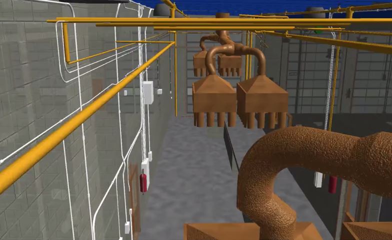
Building mapping involves gathering precise measurements to display an accurate projection of its internal or external structure. One example of this would be the creation of a floor plan based on the existing state of a building to display fixtures, pipes, doors, windows, and dimensions. The process is frequently used to survey a property and generate a floor plan or model for:
- Upcoming Renovations
- Historical Preservation
- Surveying Older Buildings
- Unconventional Construction Projects
- Structural Changes
- Post Renovation or Construction asbuilts documents
Traditional methods involve the surveyor taking a physical walkthrough of the property to gain measurements and map it out. However, new technologies such as three-dimensional scanning and modeling have made this process not only easier, but also far more reliable. These technologies provide faster results by automatically collecting essential data for building information modeling or computer-aided design to provide an accurate structure model for managing the project.
Why is Building Mapping Important?
Building mapping provides pertinent data for anyone who wants to make changes or needs to map out routes to support emergency planning. For example, if you want to renovate a building, knowing the location of piping within the structure ensures nothing is busted or harmed during the change. It also helps builders determine where fixtures should go or new supported piping should be placed. The same applies to electrical changes, room additions, and assessing the progress of a structure as it is built.
A combination of physical surveying and scanning technology is often used to gather information about a structure based on mathematics and dimensions. This information is then applied within a specialized computer application to generate:
- Evacuation Maps
- School Security Maps
- Interactive Structure Information
- Renovation Plans
- Campus Maps
- Floor Plans
- Piping or Fixture Layouts
- Structure Age or Sizing Measurements
Building mapping is a beneficial process when you want to acquire data to input into 3D modeling programs. Several methods are applicable for acquiring this data including Building Information Modeling or BMI. 3D laser scanning is often used to acquire the data needed for BMI, which may then be built upon throughout the renovation or construction process to avoid errors or setbacks and maintain costs. Additionally, it allows companies to identify any existing safety hazards to eliminate the chance of injury within a structure. At LandAir Surveying, we use the latest technology to complete building mapping. Whether it is an old building, an unconventional structure, or you simply need a floor plan, we can help you identify every aspect of the building for guaranteed project success.
Leave a Reply
Want to join the discussion?Feel free to contribute!