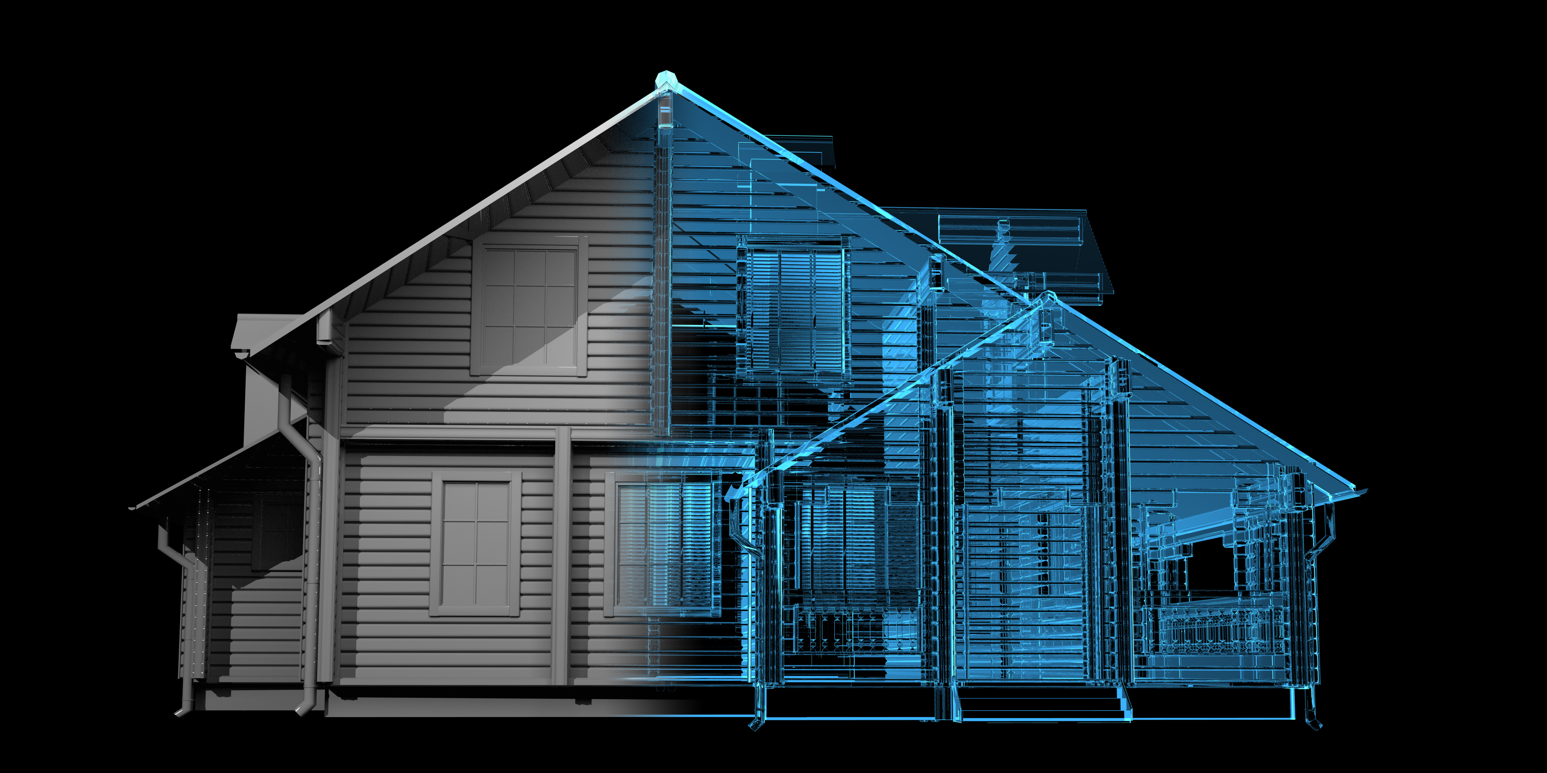
 New technology for capturing building design and measurements is providing quantum leaps resulting in saving valuable professional time for architects, engineers, and designers. When the challenge is building remodeling and design, and building plans cannot be found, we can provide the following:
3D Scanning Services
- Electronic file output in AutoCAD or MicroStation
- 2D and 3D drawings of building facades
- All elevations
- Roof conditions scans capture all areas in need of repair in electronic or hard copy prints
- All 3D images are presented with registered coordinate points
- All scans have extremely high precision and accuracy
*Additional videos are available below the active video.
All Electronic File Deliverables Include
- 360° rotational photographs and images with measurable x, y, z coordinates
- Point clouds containing millions of registered data points
- Ability to produce graphic 3D computer models
Options
- Fly-through video presentation
- Texturizing surfaces
- Graphic modeling inside 3D scans
- Interior decoration modeling
- Animation inside and outside 3D scans
Other Applications
- Building security
- Land terrain modeling for golf course or landscape design
- Environmental metrics for analysis and modeling
*Note that all videos are not the work of LandAir Surveying. Those noted with “by Others” are shown to present the wide range of other uses of this technology.
